

Applications
The Stratoship Group aims to provide a remote site in the sky, positioned around 65,000ft (20km) up, which can be used for a variety of users, capabilities, applications and effects.
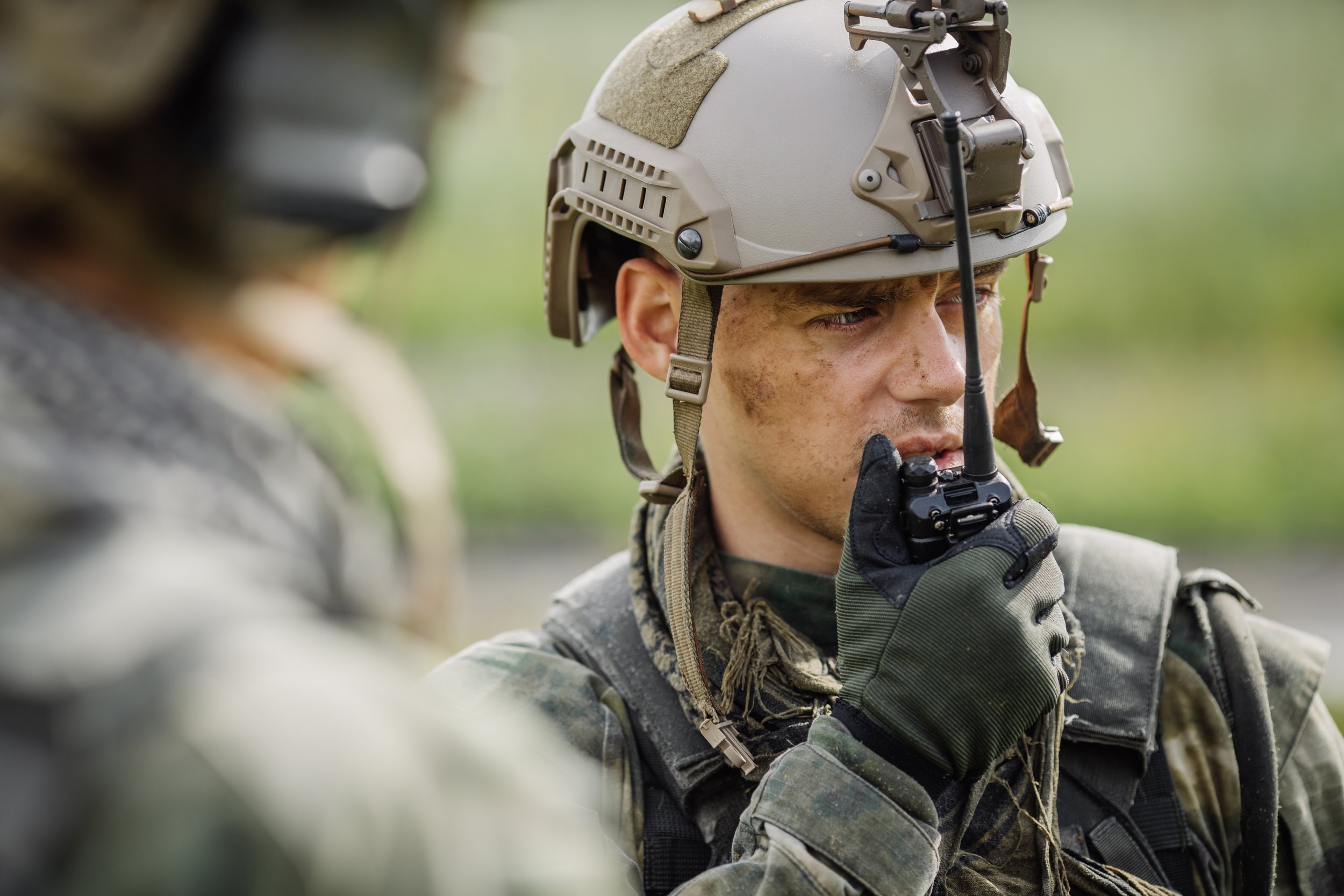
Defence and Security
The Stratoship aligns with SDIP 7 with our ability to perform test and evaluation. High altitude platforms extend the range of radio networks and communications and reduce the need for ground based stations. With the stratoship’s ability to move and hold station, the ship acts as a dynamic remote platform, ready for any situation.
Transportation & Infrastructure
The stratoship can provide up-to-the-minute data on local areas using observation equipment. This information can be used to plan and monitor areas and track the effects of construction and transportation.

Research
Stratospheric observation technology can monitor natural disasters, changing environments, oil spills, deforestation, and more by providing an affordable satellite-like platform that can stay over the study area and provide a near real-time view.

Emergency Services
Stratospheric based technology can significantly increase the range of communications used by emergency services and monitor the effects of natural disasters.


Operations in Remote Areas
The stratoship reduces the need for building and maintaining ground stations by extending the range of commercial communications networks used in operations including mining and emergency services.
Agriculture
Using stratospheric based equipment, businesses can monitor changing soil conditions and crop health. This provides a valuable bird’s eye view of crops and fields so that farmers can identify areas of importance and make better decisions.
